5 Most Beautiful Mountain Walks in Europe to Get Away For a Moment
Want to get away for a moment? We totally get it! We listed our 5 most beautiful mountain hikes in Europe through Switzerland, Italy and Slovenia for you. Let us count down together, to the moment when the borders will open again and we can travel without worries. YES! The mountains are the ideal destination to stretch your legs, away from the crowd. With the campervan or tent in the car, you can easily map the most beautiful walks together. If you don’t have your own campervan, take a quick look at Goboony and find the campervan that fits your journey. They have a lot of options and you rent directly from the owner. That way you support locals like a true TravelRebel.
1. Mountain hike in Switzerland – over the Augstmatthorn
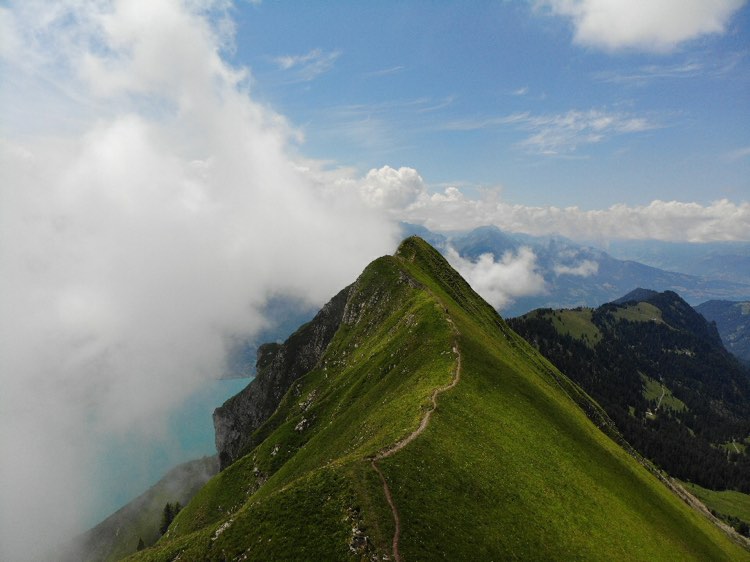
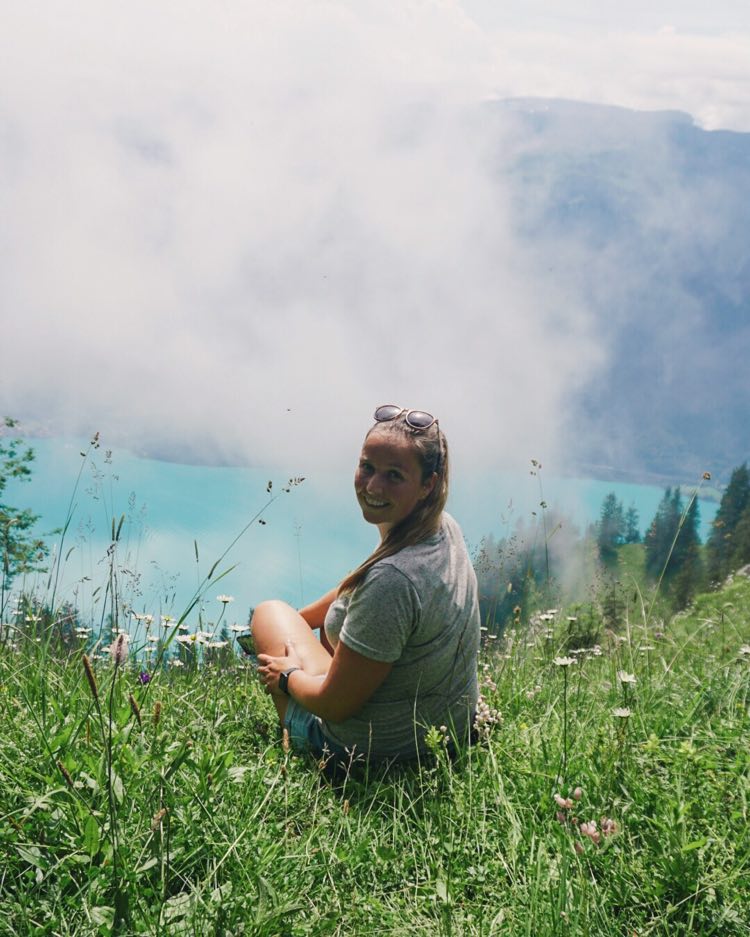
You start this mountain hike in Switzerland, with a short but steep climb on the Harderbahn, a panoramic cableway, to the starting point. From there, it takes an hour to climb out of the forest in a zigzag way. As soon as you hit the tree line, breathtaking views await. On the right-hand side you have a continuous view of the azure blue Lake Brienz. To the left you see sloping Swiss meadows with wild flowers and cows.
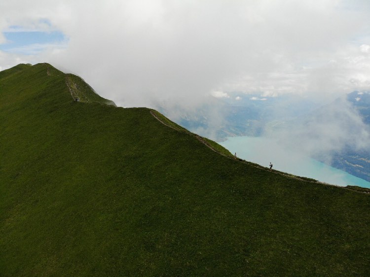
After a good 2 hours of hiking you will arrive on a narrow walking path over the steep mountain wall. You follow this path winding to the highest point: the Augstmatthorn (2137 meters). Plus, if you are lucky you will be walking completely among the clouds, which hang against the mountain wall. Amazing, right? Beautiful views guaranteed!
Then it is a continuous drop to the village of Habkern in the valley. Along the way you can enjoy an orchestra of cow bells and the sound of flowing streams. You can refill your water bottle at the wells here. Eventually you will arrive in the pleasant village of Habkern. There, a bus leaves every hour to take you back to Interlaken. More info on the myswitzerland website.
Some useful information:
- Distance: 15 km
- Duration: 6 hours
- Height difference: 1050 meters up – 1300 meters down
- Starting point: Harderbahn cable car in Interlaken
- End point: Habkern bus station
2. Hike in Switzerland – from Wengen to Lauterbrunnen
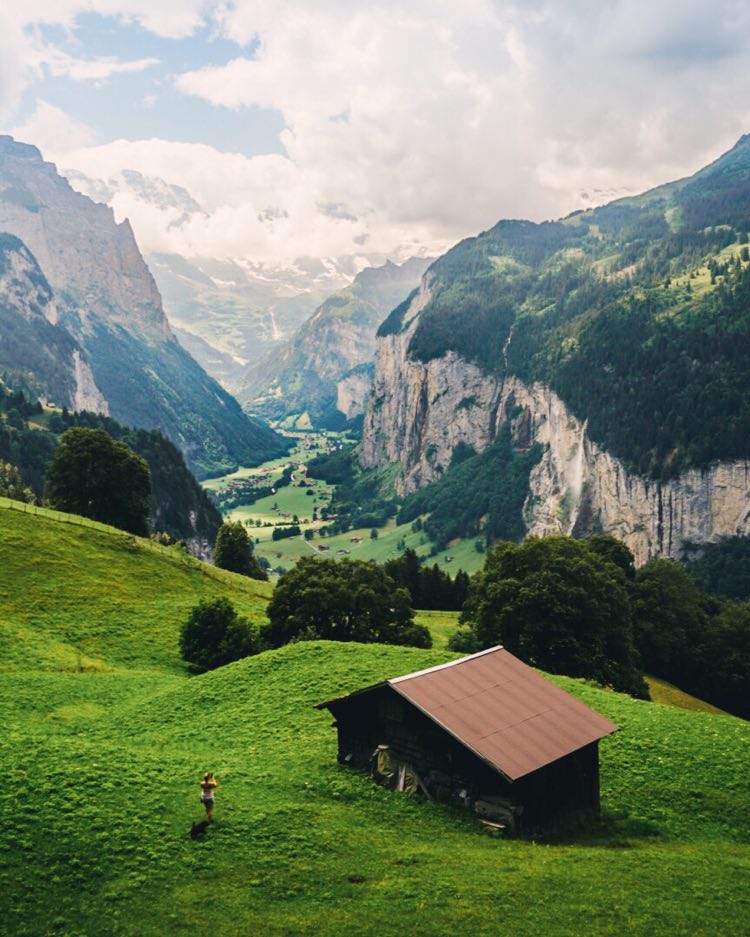
Fun fact: the trains in Switzerland connect the most beautiful mountain villages with each other. Ideal to make use of this and to be able to take the most beautiful mountain walks. This is of course what I did! I started this walk at the train station in Wengen. Here, I advise you not to follow the standard arrows to Lauterbrunnen, but, to walk north and follow the hiking trails to Wengwald station. On the way you will encounter amazing views over the waterfall in the valley of Lauterbrunnen.
After you have passed the intermediate station, a very steep piece of gravel path follows down. If you don’t like steep walks, this is not really recommended. Eventually the hike turns back towards the south and you walk through the meadows and typical mountain houses into Lauterbrunnen. Unfortunately, you will not find this walk online, but at the tourist office in Wengen you can ask for a walking map where you can easily find it. Super handy!
Some useful information:
- Distance: 4.5 km
- Duration: 1.5 hours
- Height difference: 500 meters down
- Starting point: Wengen train station
- End point: center of Lauterbrunnen
3. Mountain hike in Switzerland – next to the Aletsch glacier
For this hike, you start at the cable car station of Bettmeralp at an altitude of 1950 meters. Then you walk up via the Bettmersee and the Blausee to the highest point of the Moosfluh lift. Would you rather skip this part? You can! You have the option to immediately take the elevator up. The Panoramaweg starts here and takes you about 7.5 kilometers along the Aletsch glacier. When it clears up, it looks like a monthly landscape that you look down on. Truly breathtaking! It is not without reason that it is the longest glacier in Europe.
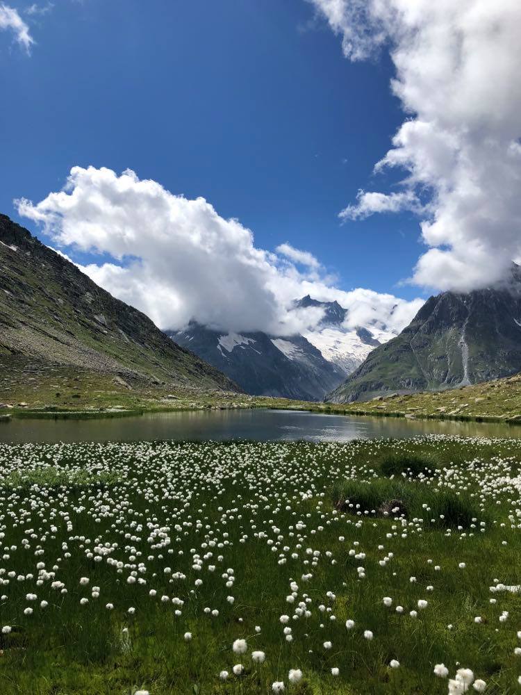
At the height of the Märjelen-Stausee you turn back towards the valley. From here you can gaze blindly at the beautiful top of the Jungfrau, where the glacier starts. Behind the lake is a cozy mountain hut, where you can eat and drink something tasty. If you come at the right time of year, there are also thousands of fluffy mountain flowers around the lake. A magical sight!
Then a kilometer long and dark tunnel takes you right through the mountains to the other side of the massif. This is not the toughest part of the hike, but it can start to weigh on the way to the end. If you are still fit, you can hike back from the cable car station of the Fiescheralp to the Bettmeralp. Sniffed enough mountain air? Then take the cable car to the valley. There you can finally take the train to the valley station of the Bettmeralp.
Some interesting info:
- Distance: 15.3 km
- Duration: 6 hours
- Height difference: 750 meters up – 490 meters down
- Starting point: Bettmeralp cable car station
- End point: Fiescheralp cable car station

4. Mountain hike in Italy – around 3 Cime
The 3 Cime (or Drei Zinnen) is a very popular destination in the Italian Dolomites. It is definitely one of the most beautiful mountain hikes in Europe. So expect traffic jams from 10 am, full parking lots and many tourists on the hiking trails. But it is important to note that you can avoid this by planning this walk very early in the morning or late in the afternoon. Once you have left, you will quickly see why it is so popular here.
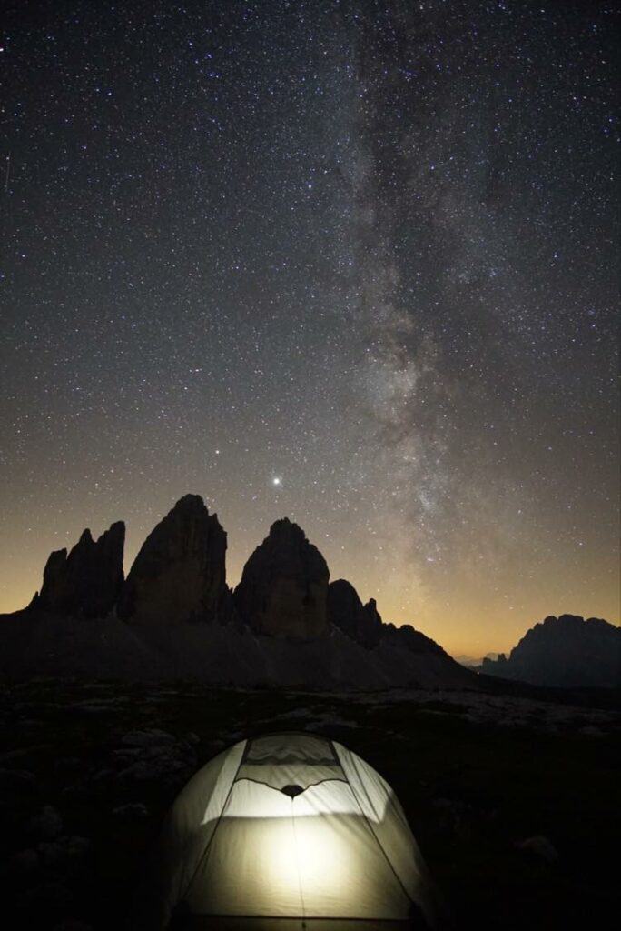
A relatively easy loop walk takes you around the mountain tops on the left or right. The best views await on the other side! Along the way you will pass several mountain huts and lakes. The largest hut, the Dreizinnenhütte, is located approximately at the center of the hike. In the center, you can find some delicous food and also stay the night if you want. You would pack your pajamas for the starry sky alone. Although it is officially prohibited, there is also a lot of wild camping on the plateau around the hut for that reason. Read the details of the walk here. Absolutely worth it!
Extra useful information
- Distance: 10 km
- Duration: 3.5 hours
- Height difference: 350 meters up – 350 meters down
- Start and end point: Rifugio Auronzo
5. Mountain hike in Slovenia – from Kranjska Gora
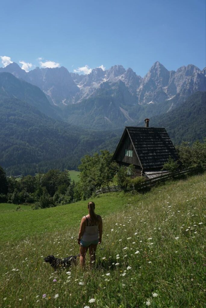
In Slovenia you will find most of the hikes around Lake Bled. You can make beautiful walks not only in the Bled region, but it is absolutely worth it all over Slovenia! For example: also in the region of the Julian Alps. A relatively easy walk through the valley starts from the cozy eco-camping site in the village of Kransjka Gora. First you walk next to the stream Sava Dolinka. Then you climb steadily towards the small hamlet of Srednji Vrh. On the way you will rise from the trees and get fantastic views as a reward. That’s what we do it for!
At the hamlet, turn back. This is followed by a fairly flat trail along the mountainside and between the meadows. You also pass some authentic stables on the way. After 5 kilometers you are almost at the end of the walk. At the restaurant Gostilna Srnjak you can eat and drink something small for little money. In the end, all that remains is a steep descent to the starting point. Do you still like to follow a walk via a map? You can always request this at the tourist office in Kransjka Gora.
Useful additional information:
- Distance: 11 km
- Duration: 3.5 hours
- Height difference: 370 meters up – 370 meters down
- Start and end point: Natura Eco Camp
Still need some inspiration to leave?
Read our tips for traveling with the campervan or electric car. Or maybe you can get some nice inspiration from our sustainable packing list.


